
A weather map is not a departure decision
Route-level weather tools can expose the worst part of a trip, but forecasts, road conditions, vehicle profile, and legal hours still have to become one operating decision.
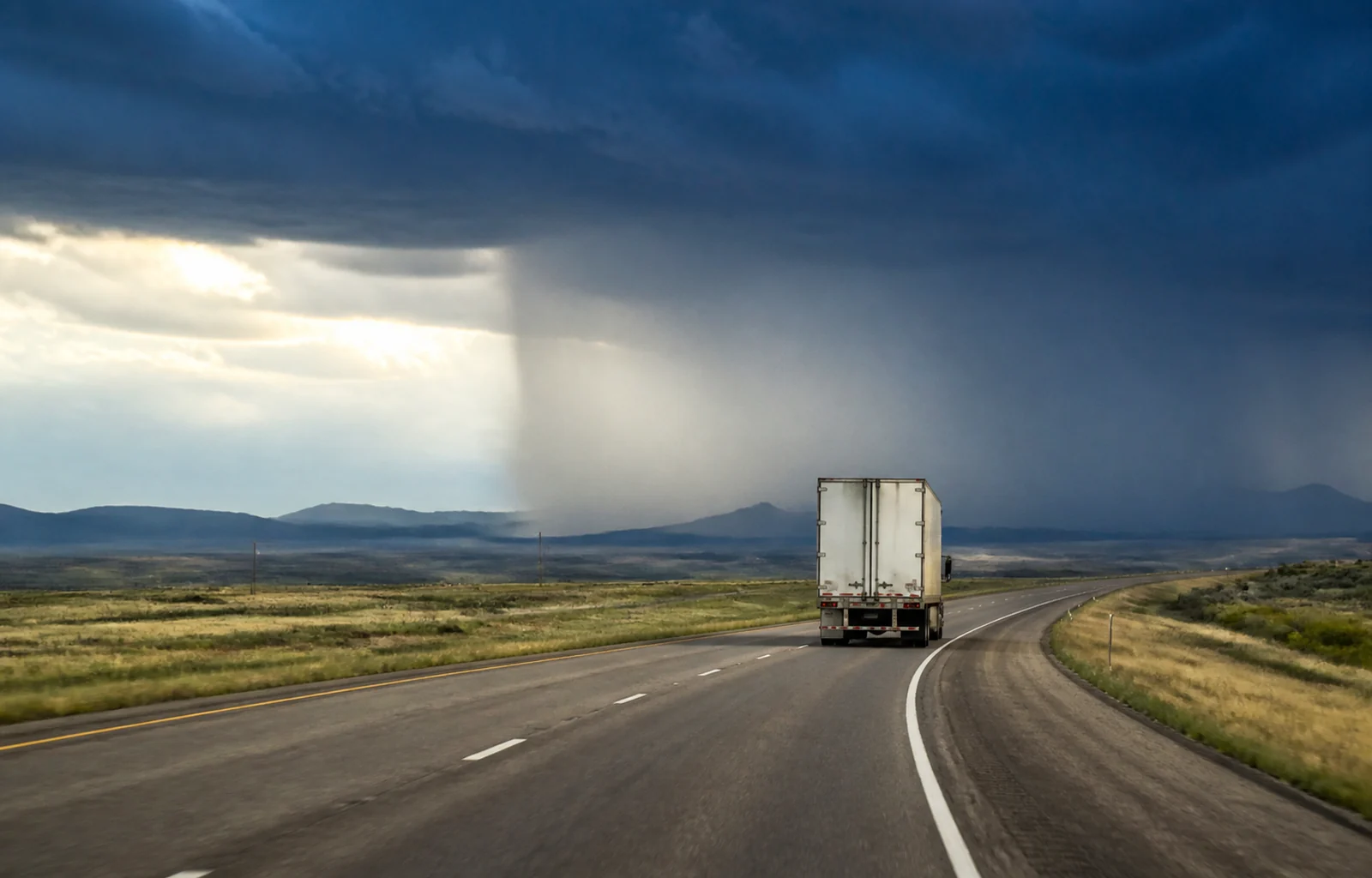
The National Weather Service's Transportation Decision Support page demonstrates a useful idea: weather should be examined along the route and across time, not only at the origin and destination. Its route display uses six-hour periods and can highlight wind, rain, snow, ice, and official watches or warnings.
The page also carries an important limitation. It is a prototype under development and says it should not be relied on for operational decisions. It directs users to state transportation departments for current road conditions.
That distinction is exactly how a fleet should think about weather information. A forecast helps identify a window of concern. A 511 system, closure notice, chain restriction, or local transportation update describes what the road is doing now. Neither replaces the other.
The NWS route method is conservative by design: it looks for the worst forecast weather within a buffer around each road segment. That can reveal a short hazardous portion that a city forecast misses, but it does not mean every mile of the segment will experience the same conditions.
Industry sponsor One view for dispatch, drivers, and the back office.
Explore the TMS ↗
One view for dispatch, drivers, and the back office.
Explore the TMS ↗
Vehicle profile matters as much as route color. A lightly loaded high-profile trailer can reach a crosswind limit before a heavier combination. A refrigerated load may tolerate delay differently from livestock, produce, or a hard delivery appointment. The same forecast does not produce the same decision for every truck.
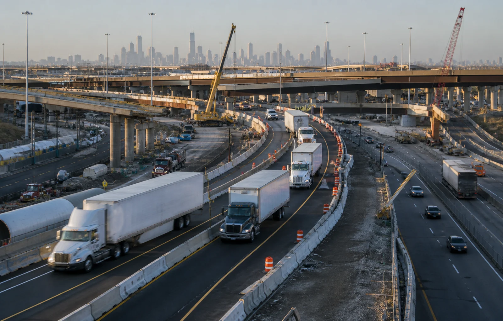
Timing matters too. A route that appears manageable at departure may place the driver in the highest-risk segment four or six hours later. Comparing the truck's expected arrival at the hazard with the forecast window is more useful than reading the current condition at the terminal.
Dispatch should turn the review into a short decision note: the segment of concern, expected arrival time, primary stop-before point, condition that triggers a hold, and who will recheck the route. That gives the driver a plan without asking for weather analysis while moving.
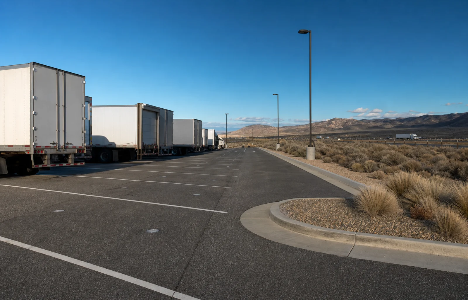
The plan should include parking before the hazard, not after it. If the safe hold location commonly fills, move the decision point farther upstream or reserve more clock so the driver is not choosing between a weather risk and an hours problem.
When conditions improve, restart with current information. A forecast window ending does not prove that a closure is lifted, a road is clear, or a restriction has changed. Confirm the operational source that controls the roadway.
After the trip, compare forecast timing with actual effects. That is not an exercise in blaming the forecast. It helps the fleet learn which corridors, wind directions, elevations, and trailer profiles need a more conservative trigger.
A weather map is an input. The departure decision is the point where forecast, road status, equipment, cargo, parking, and the driver's judgment become one safe plan.
Route check
- Pair route forecasts with current state DOT and 511 conditions.
- Match the hazard window to the truck's expected arrival time.
- Choose a safe hold point before the hazardous segment.