
The front moves east; the warning stays local
WPC is tracking one storm system across several freight regions from Wednesday into Thursday. The broad forecast starts the plan, but the alert stage determines when a local road decision becomes action.
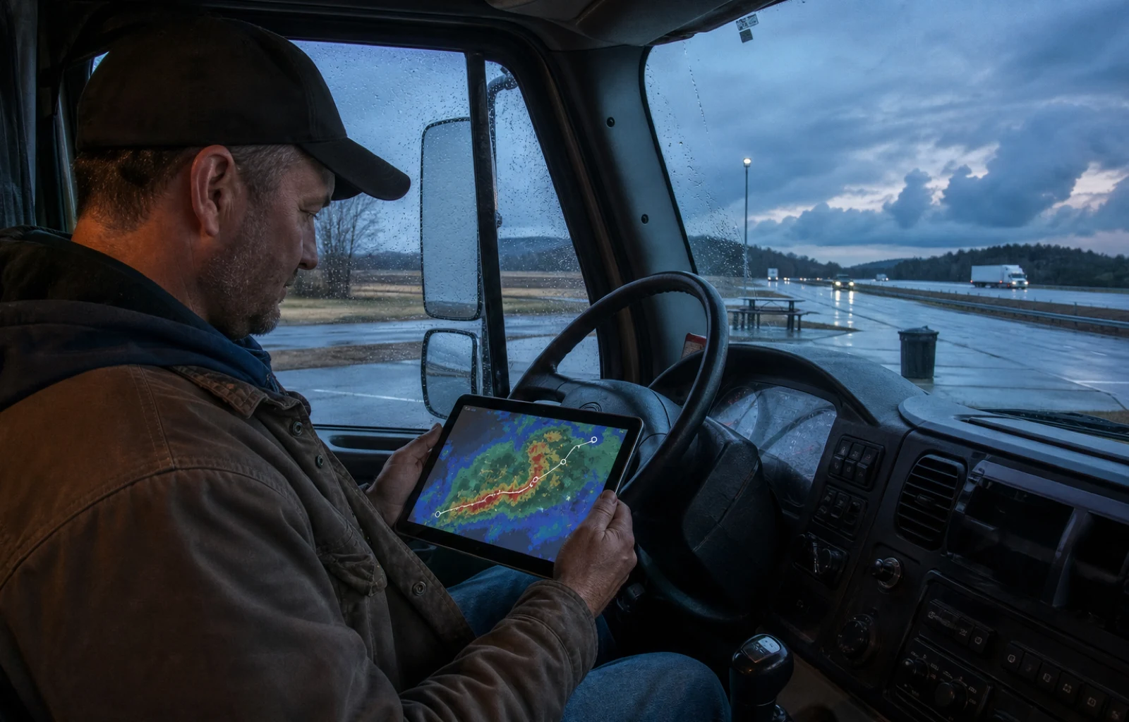
One weather system is putting two different road decisions on the same map. In its early-Wednesday short-range forecast, the National Weather Service's Weather Prediction Center expected heavy rain and severe thunderstorms across the Midwest, Lower Mississippi Valley and Great Lakes-to-Ohio Valley region Wednesday, followed by a flash-flood threat extending into the Northeast, Mid-Atlantic and Southeast on Thursday.
That footprint clears the national-audience test because it crosses several major freight regions and more than one operating day. It does not mean every mile inside those regions will receive severe weather or flooding. The national forecast supplies the moving pattern; local National Weather Service alerts, state 511 systems and posted road controls supply the decision for a particular place and time.
Wednesday's setup begins with an upper-level trough and a frontal boundary moving east. WPC said organized storms could develop from the central and southern Plains and Midwest into the Ohio Valley, with the strongest storms capable of lightning, large hail, damaging wind and excessive rainfall or flash flooding. Those are forecast hazards, not a list of confirmed closures, and their exact track can change as the day develops.
By Thursday, the emphasis moves. WPC's forecast shifted the severe-thunderstorm threat toward the Northeast and Ohio Valley while placing the heavy-rain and flash-flood concern across portions of the Northeast, Mid-Atlantic and Southeast. Its Thursday excessive-rainfall outlook separately carried a Slight Risk for portions of the Lower Mississippi Valley and Northeast. An outlook is a planning signal over a broad area; it is not permission to assume a road will close, or proof that an open road will stay usable.
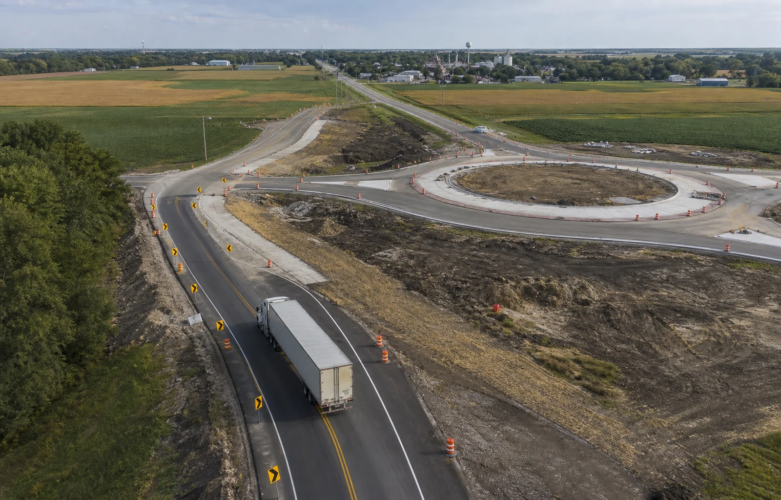
The important road distinction is between where the national forecast begins and where the required response becomes local. WPC can identify a broad corridor and timing window, while local forecast offices issue the watches and warnings that narrow the threat. Treating those products as an escalation ladder is an editorial way to organize official information, not a new federal operating rule or a prediction about one driver's trip.
Industry sponsor From load to settlement, keep it connected.
Follow the workflow ↗
From load to settlement, keep it connected.
Follow the workflow ↗
Alert language should change the response. The National Weather Service defines a flood watch as a time to be prepared because flooding is possible. A flood warning means flooding is imminent or occurring and calls for action; a flash-flood warning means a dangerous rapid flood is imminent or already happening. The same prepare-versus-act distinction applies to severe-thunderstorm watches and warnings. A national outlook can start the plan, but the local warning is the signal that the hazard has narrowed to a place where people must respond.
Water over pavement is not a depth test. NWS says more than half of flood-related drownings happen after a vehicle enters hazardous floodwater, warns that the road may have collapsed beneath the water and says never to drive around a barricade. Its national safety guidance says 12 inches of rushing water can carry away most cars and two feet can carry away SUVs and trucks. Vehicle size is not a reason to probe a flooded crossing.
For a moving trip, assign the alert handoff before the weather arrives. The driver or dispatcher should know which local National Weather Service office and state traveler-information system cover the next segment, and where an update can be reviewed while safely parked. That is a practical editorial workflow built from the official alert sequence, not an instruction to interpret radar through a handheld device while moving.
When a warning appears, stop treating the broad map as the decision. Follow the warning's local instructions and use the responsible road agency to confirm closures or restrictions. A road can look clear on a regional graphic while high water, debris or a barricade blocks one crossing; a colored outlook can also cover an interstate that remains open. Neither image overrides the current local control.
The front is the national story because its path connects several regions over two days. The response stays local because watches, warnings, barricades and road controls apply to specific places. Read the products in order: outlook for the heads-up, watch for preparation, warning for action. Then keep one rule outside the ladder entirely—water over the roadway is never a depth experiment.
Route check
- Use the broad WPC outlook for advance planning; do not read it as a road-closure map.
- Treat a watch as time to prepare and a warning as a call to follow local action instructions.
- Never drive around a flood barricade or use a truck's size to test water over the road.