
The South-Central heat wave moves the pretrip toward dawn
Dangerous heat now spans several major freight regions and is forecast to last into next week. The road decision is not simply whether to drive through it, but when to inspect, where to recover and what a hot reading can hide.
The heat map has become a route map across more than one region. On Saturday morning, the National Weather Service said dangerous heat would persist across the Desert Southwest through the weekend and across the Southern Plains and Lower Mississippi Valley through at least the middle of next week. It also expected numerous daily record highs through Tuesday across much of Texas and Oklahoma and parts of Louisiana, New Mexico and Arizona.
That footprint clears the national-audience test: it crosses several states and the approaches to major east-west and north-south freight corridors. It is not a claim that every mile of I-10, I-20, I-35 or I-40 will have the same temperature or warning. Forecast offices and state road systems remain the authority for the exact route and departure window, while the regional pattern is the reason to check more than a destination forecast.
The numbers change with the air mass. The Weather Service office serving Dallas and Fort Worth showed an Extreme Heat Warning across most of North Texas on Saturday and expected highs mainly in the triple digits. Farther east, the Lake Charles office said apparent temperatures in parts of southwest Louisiana and southeast Texas could reach roughly 112 degrees. The national warning summary also carried an Extreme Heat Warning through Sunday evening for portions of Arizona, California and Nevada, including the lower Colorado River and Las Vegas areas.
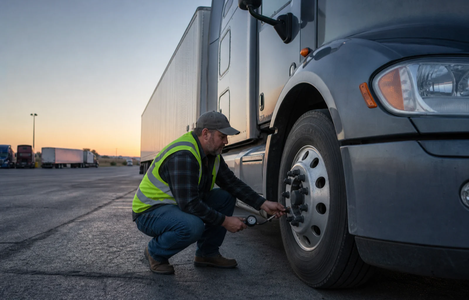
For a working trip, the first useful adjustment may happen before sunrise. NHTSA's summer-driving guidance says tire pressure should be checked when tires are cold, meaning at least three hours after driving, and set to the vehicle manufacturer's recommended pressure rather than the maximum molded onto the tire. That is general federal vehicle guidance, not a substitute for commercial-tire, fleet or manufacturer specifications, but it explains why a reading taken after hours of hot pavement is not the same baseline as a pre-departure reading.
Industry sponsor One view for dispatch, drivers, and the back office.
Explore the TMS ↗
One view for dispatch, drivers, and the back office.
Explore the TMS ↗
Heat also moves ordinary defects closer to the center of the trip. NHTSA advises checking air-conditioning performance, cooling-system condition, hoses, belts and fluid levels before summer travel. Its tire guidance notes that sustained high temperature during long-distance driving can contribute to tire deterioration. None of that predicts a breakdown on a particular road. It does support a more deliberate inspection before the day reaches its peak, especially when a route will remain inside the warning area for hours.

The human recovery plan needs its own stop list. OSHA's heat guidance tells workers to drink water frequently and identifies shade or an air-conditioned vehicle or building as possible recovery locations. A parked cab is not automatically a cool space, and a scheduled fuel stop is not automatically a useful heat break. Confirming that cooling is available is a practical planning inference from the guidance, not a new hours-of-service rule or a Weather Service instruction.
Dispatch can help by treating the forecast as a constraint rather than a line in a weather email. A pre-dawn inspection window, verified cooled stopping points, drinking water and enough schedule room to address a tire or cooling concern are concrete controls. The forecast does not justify pushing a driver through fatigue, skipping required checks or assigning a universal tire-pressure number; those decisions remain subject to applicable rules, equipment specifications and actual conditions.
The heat dome also does not erase other hazards at its edge. Forecast offices in Texas and Oklahoma were tracking isolated thunderstorms and potentially strong wind gusts Saturday. A heat plan therefore cannot replace a final radar, warning and 511 check. It has to sit beside them, because a route can move from still air and extreme heat into a gust front without leaving the same operating day.
This event is broad enough that waiting for one dramatic closure would miss the point. The road may stay open while the margin around the trip narrows. Move the inspection into the coolest practical part of the duty day, take cold tire readings for what they are, verify where real cooling is available and keep checking the live route. In a multi-state heat wave, preparation is the road news before a barricade ever appears.
Route check
- Check current NWS warnings and state 511 conditions for the full route, not only the destination.
- Use a cold tire-pressure reading and the correct vehicle, tire and fleet specifications; do not improvise from a hot reading.
- Plan verified cooling, water and schedule margin before the hottest part of the operating day.