
The SR 161 detour has a second finish line
The ten-day closure between Federal Way and Milton is scheduled to end Monday morning, but the corridor immediately shifts into weeks of continuous lane restrictions. The useful plan looks past the barricade removal.
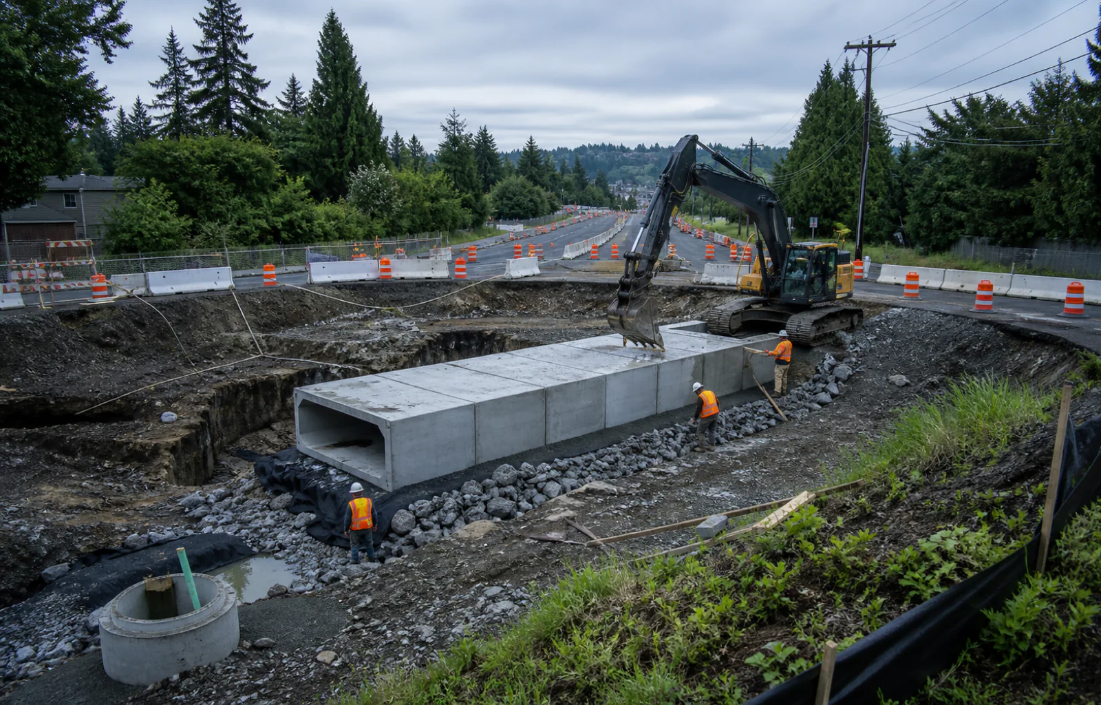
State Route 161 is in the final weekend of a ten-day full closure between Federal Way and Milton, but Monday is not a return to the old road pattern. The Washington State Department of Transportation schedules both directions of SR 161, also called Enchanted Parkway South, to remain closed between 28th Avenue South and Military Road South until 5 a.m. Monday, August 17.
WSDOT's detour map routes travelers around the cut using 28th Avenue South, South 360th Street and Military Road South. The map shows the route working in both directions, and the agency says signed detours guide drivers, cyclists and pedestrians. That makes the posted route the starting point; a navigation app's shortest local line should not replace signs at a construction closure.
The roadway is closed because crews are installing new crossings for two tributaries to Hylebos Creek near 28th Avenue South. A third crossing near South 370th Street was handled during a separate July closure. The old culverts let water pass under the highway but block fish movement, so the project replaces all three with larger structures designed to restore more natural stream conditions beneath SR 161.
This is more than a pipe swap at the shoulder. Installing a stream crossing across the width of a highway requires excavation, utility and drainage work, structure placement, backfill, paving, markings and traffic control before the lanes can carry travelers again. WSDOT lists the SR 161 location at an estimated $21.2 million and says construction at the three sites is tentatively scheduled to conclude in October.
Industry sponsor One view for dispatch, drivers, and the back office.
Explore the TMS ↗
One view for dispatch, drivers, and the back office.
Explore the TMS ↗
The second finish line begins as soon as the full closure ends. WSDOT says continuous right-lane closures in both directions will resume Monday and continue through much of September. A traveler who deletes the detour note at 5 a.m. may still meet a narrowed corridor, work-zone speeds and changing access around the same construction area.
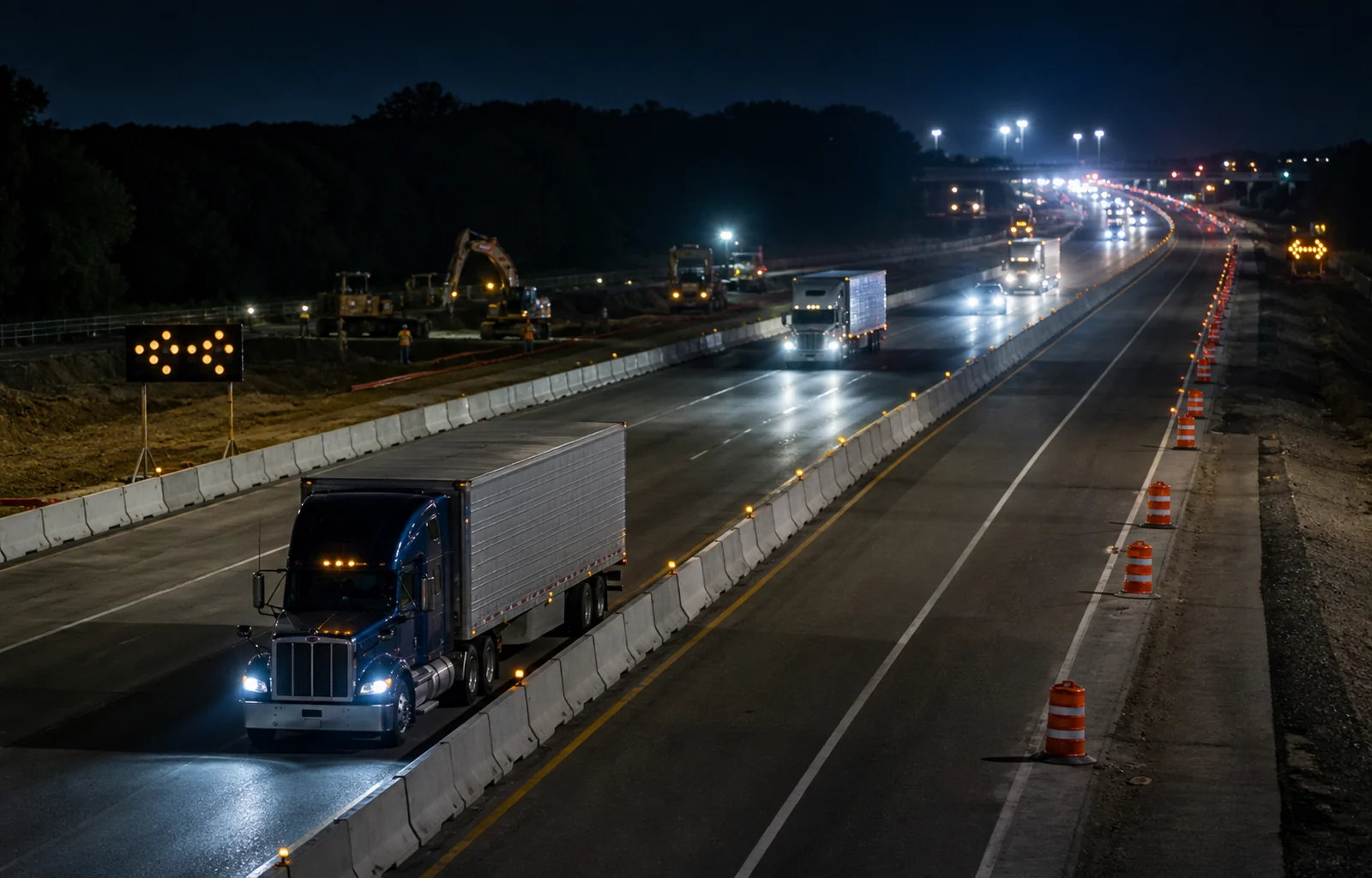
The full closure can also push extra trips onto the signed local route, where through travelers meet signals, neighborhood access and other people using those streets. More traffic can make travel time less predictable, but that is an inference from the detour pattern, not a forecast of a particular delay. WSDOT's real-time travel map and the traffic control on the ground remain the better guides for any one trip.
A useful Monday brief therefore needs two versions: the detour if the highway has not reopened, and the lane plan if it has. Confirm the current status before reaching 28th Avenue South or Military Road South, leave enough time for the signed route, and identify a safe place to recheck conditions. A passenger, dispatcher or person at the destination can handle updates while the driver stays focused on the work zone.
The construction has a purpose beyond the pavement. WSDOT explains that older culverts can become barriers when water is too swift, too shallow or drops at the outlet. Larger fish-passable structures are intended to reconnect habitat and better accommodate natural stream processes. That wider benefit does not shorten today's detour, but it explains why the work extends below the road people see.
For residents, service crews, deliveries and weekend travelers, the calendar is the practical lesson. August 17 is the planned end of the full closure; much of September is the planned lane-restriction phase; October is the tentative project finish. Treating those as separate milestones keeps one reopening from being mistaken for the end of the entire job.
Route check
- Use the signed 28th Avenue South, South 360th Street and Military Road South detour while the closure remains active.
- Expect continuous right-lane closures in both directions after the planned Monday reopening.
- Check WSDOT's real-time map because construction schedules and traffic conditions can change.